#

Port Nusantara Regas Satu

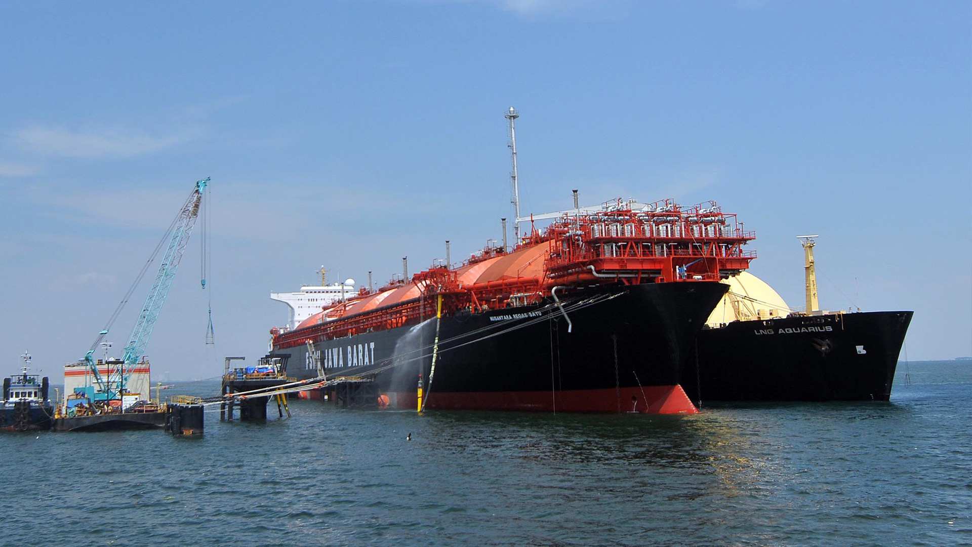
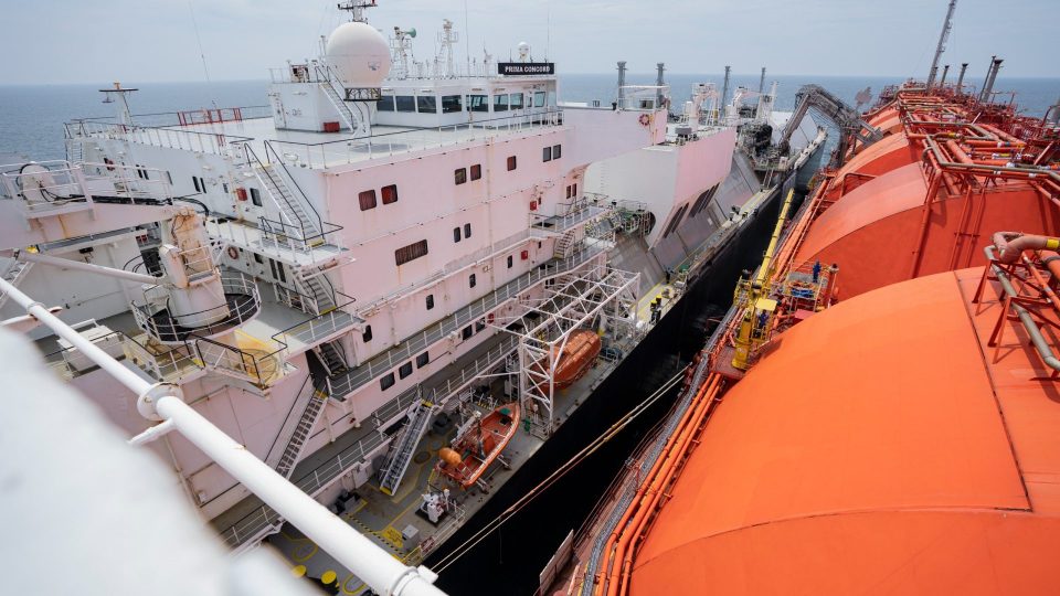
NRS is a conventional LNG Carrier (LNGC) converted into a Floating Storage and Regasification Unit (FSRU) terminal. It receives LNG carriers for ship-to-ship (STS) cargo discharge under an industry-standard terminal guide covering pre-arrival planning, berthing, mooring, cargo transfer, departure, pollution prevention, and local requirements.


Location Vicinity of Pulau Ayer Besar, ~15 km off the northern coast of Jakarta, Indonesia
Terminal

FSRU Nusantara Regas Satu Terminal.

Berth

1 FSRU berth

Operation

24 Hours Operation


Vessel

LNG Carriers (LNGC) up to 155,000m³ Membrane type or 125,000m³ Moss type calling at the terminal.

Timezone

GMT +7.

Overview

FSRU Nusantara Regas Satu (NRS) is a converted LNG Carrier (293.75 m length, ~124,000 m³ net storage in six spherical tanks) operating as a floating regasification terminal in Jakarta Bay. It receives LNG via ship-to-ship transfer, using two 16" liquid arms and one 16" vapor arm. The terminal operates 24 hours a day with compulsory pilotage, supported by three tugs (125mt total bollard pull) and strict HSSE/ISPS procedures aligned with international standards (SOLAS, MARPOL, ISGOTT, OCIMF, SIGTTO).

Facilities | Services

Facilities

  • Floating Storage Regasification Unit (FSRU)
  • Marine Loading Arms (MLA)
  • Mooring and Fendering Systems
  • Safety and Firefighting Equipment
  • Cargo Emergency Shutdown Systems (ESD & ERC)
  • Navigation Aids

Three standby tugs:

  • TB Patra Tunda 4201
  • TB Aqua Harbour
  • TB Dalia VIII

Services

  • Berthing and Discharging Services
  • Tugboat Services
  • Pilotage Services
  • Operational Communication Systems
  • Vapor Management
  • Ship Compatibility Study
  • Service Restrictions
  • Bunkering
  • Provisions and Spare Parts
  • Waste Management

Vessel Information

  • Design: Converted LNGC-to-FSRU; Length 293.75 m; Draft ~11.0 m (loaded); Storage ~124,000 m³ (6 spherical tanks); 2×16" liquid arms + 1×16" vapor arm
  • Water Depth Alongside 23 m at Lowest Astronomical Tide (LAT)
  • Minimum UKC 15% of vessel's deepest navigational draft while maneuvering; minimum 1 m while moored
  • Tides: HAT 1.2 m / MHHW 0.9 m / MSL 0.6 m / MLLW 0.3 m / LAT 0.1 m / Chart Datum 0.0 m
  • Anchorage (Waiting Area): Approved box — 05°56'30.00"S/106°46'00.00"E, 05°56'30.00"S/106°46'46.28"E, 05°58'00.00"S/106°46'46.28"E, 05°57'59.99"S/106°45'59.93"E
  • Waters Status: Pilotage Compulsory

Port Regulations

Map | Contact

Phone:
+62-21-315-9543 / +62-21-315-9544 (Out of office/cell: +62 813-8444-3662)
Operator:
PT Nusantara Regas
Coordinates:
Latitude: 05°58'28.920"S Longitude: 106°47'57.96"E

Information Post

#
Port Tanjungwangi
  • East Java, Banyuwangi
#
Port Nilam Barat
  • East Java, Surabaya
#
Port Tanjung Priok (TUKS)
  • DKI Jakarta (Marine Region III)