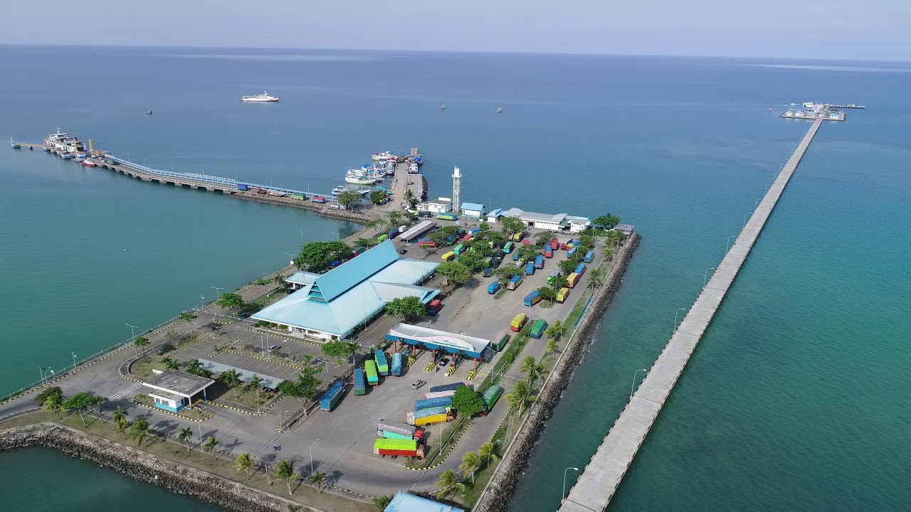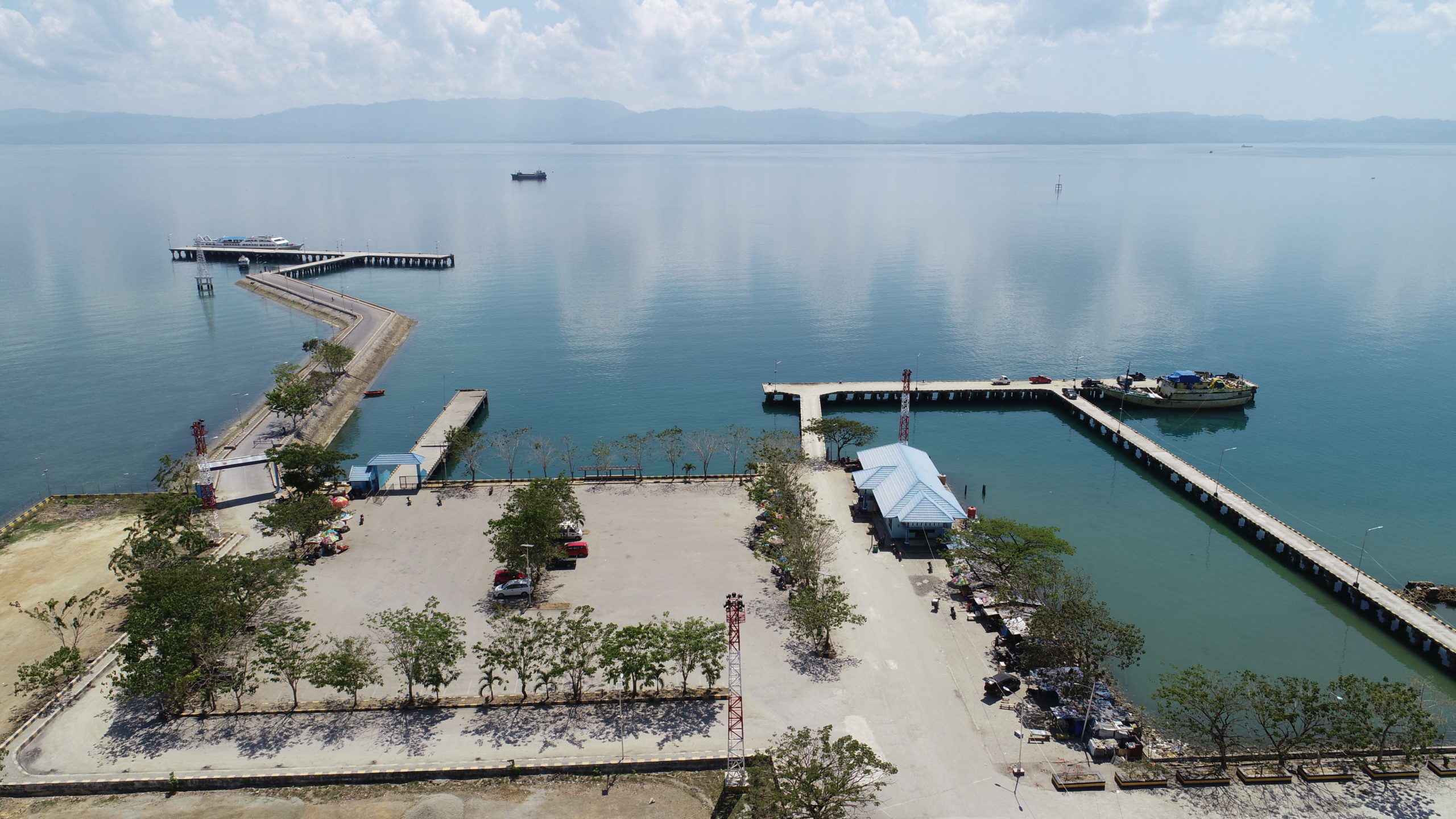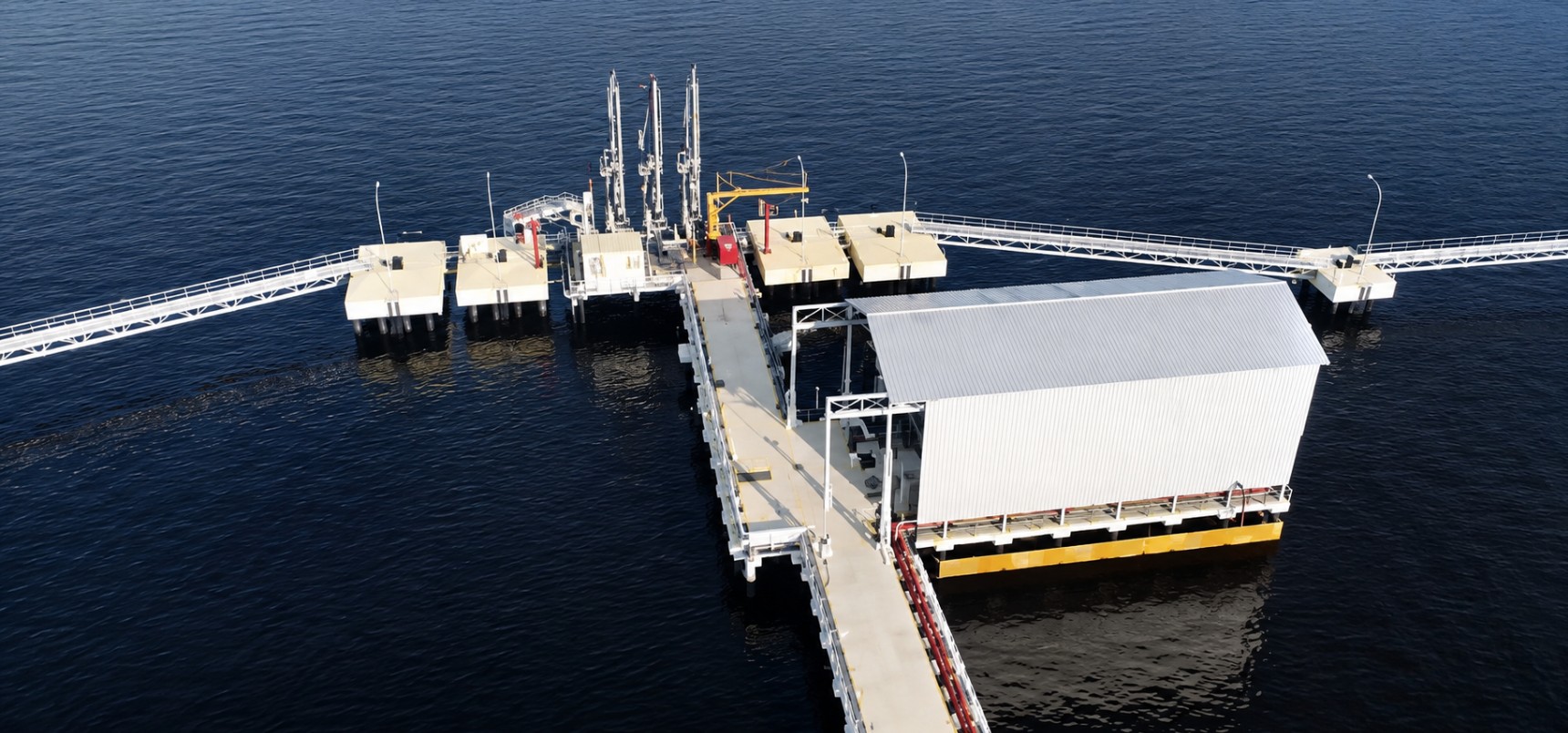
Port Sungai Pakning
- Riau Province


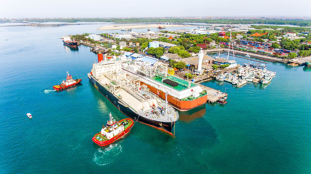
PT Pertamina Port & Logistics TUKS Benoa Sanggaran is an Oil & Gas terminal located in Benoa Port, Denpasar Selatan, Bali. The terminal provides safe and efficient marine services for petroleum product distribution through two operational jetties equipped to handle various tanker operations.


Terminal Untuk Kepentingan Sendiri (TUKS) Benoa Sanggaran

2 Operational Jetties

24 Hours Operation

Min/Max 150 – 6,500 DWT, Min/Max 60 – 110 m LOA

GMT +8
PT Pertamina Port & Logistics operates TUKS Benoa Sanggaran, a dedicated terminal consisting of two jetties in Denpasar Selatan, Bali. The terminal handles vessels carrying fuel products (Premium, Pertamax, Pertamax Turbo, Solar, Avtur, Pertadex) and asphalt, operating 24 hours a day with compulsory pilotage, supported by tugboats, mooring boats, and oil spill response equipment.
Small/Light Vessel Facilities:
Oil Spill Response Facilities:
Processing of Vessel Certificates/Documents:
All personnel entering the terminal area shall wear appropriate Personal Protective Equipment (PPE), including safety helmet, safety shoes, coveralls, gloves, and other equipment as required.
Smoking is strictly prohibited within all operational, hazardous, and restricted areas of the terminal except in designated smoking areas.
All vessels shall complete Ship/Shore Safety Checklist, terminal safety inspection, and comply with ISGOTT safety requirements before commencing cargo operations.
The discharge of oil, oily water, garbage, ballast water, chemicals, or any other pollutants into the sea is strictly prohibited. All pollution prevention measures shall comply with MARPOL regulations.
Continuous communication shall be maintained between the vessel, terminal operator, pilot, and port authority via designated VHF radio channels during arrival, cargo operation, and departure.
Berthing, mooring, cargo handling, and unberthing operations shall only be carried out under terminal instructions and in accordance with approved safety procedures.