Port Kupang
- East Nusa Tenggara (NTT)


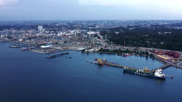
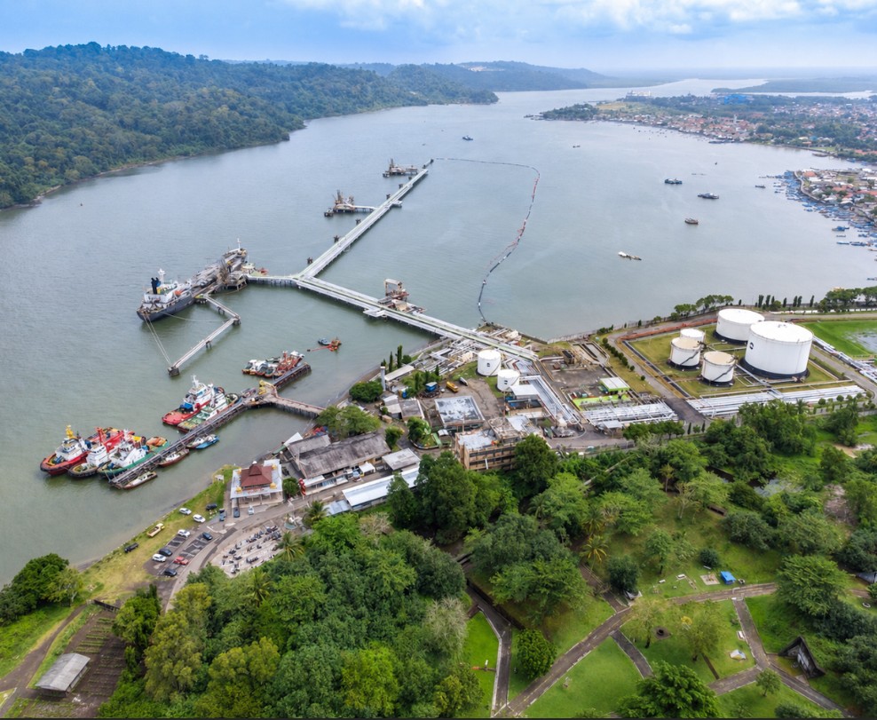
Fuel Terminal Tembilahan is a Private Terminal for Own Interest (TUKS) owned by PT Pertamina Patra Niaga and operated by PT Pertamina Trans Kontinental. The terminal is designed to support the receipt, storage, loading, and unloading of petroleum products using a Dolphin Berth facility. It plays an essential role in ensuring the continuous fuel distribution throughout Indragiri Hilir Regency and surrounding areas.


PT Pertamina Patra Niaga TUKS Fuel Terminal Tembilahan

1 Dolphin Type Jetty consisting of 1 Jetty Head, 2 Breasting Dolphins, and 4 Mooring Dolphins

12 Hours Operation daylight only for entry/exit and berthing/unberthing

Min/Max 3,500 DWT, Min/Max LOA 70 m

UTC +07:00 (Western Indonesia Time / WIB)
Fuel Terminal Tembilahan is a river based petroleum terminal. The terminal primarily handles Pertalite and Biosolar cargoes and is supported by firefighting systems, oil spill response equipment, pilotage services, and marine operational facilities to ensure safe and efficient cargo transfer.
Cargo & Fleet Support:
Firefighting:
Oil Spill Response:
Cargo Handling & Hose Equipment:
Navigation & Port Regulations:
All personnel entering the terminal operational area shall wear appropriate Personal Protective Equipment (PPE), including safety helmet, coverall, safety shoes, gloves, and life jacket when working on the jetty.
Smoking, open flames, and hot work activities are strictly prohibited within the terminal operational area unless authorized under an approved Permit to Work (PTW).
All vessels must complete the Ship/Shore Safety Checklist (SSSCL) prior to cargo operations. Routine safety inspections may be conducted throughout the vessel’s stay.
All vessels shall comply with marine pollution prevention procedures. Discharge of oil, sludge, ballast water, garbage, or any pollutants into the river is strictly prohibited. Oil spill emergencies shall be handled using the terminal’s Oil Spill Response Equipment (OSRE).
Operational communication shall be maintained by VHF Channel 12 and VHF Channel 16. Radio watch shall remain active throughout cargo operations.
All berthing and unberthing operations shall be carried out under the supervision of the Pilot, Harbour Master (KSOP), and Terminal Representative. Safe mooring arrangements shall be maintained at all times during cargo transfer.