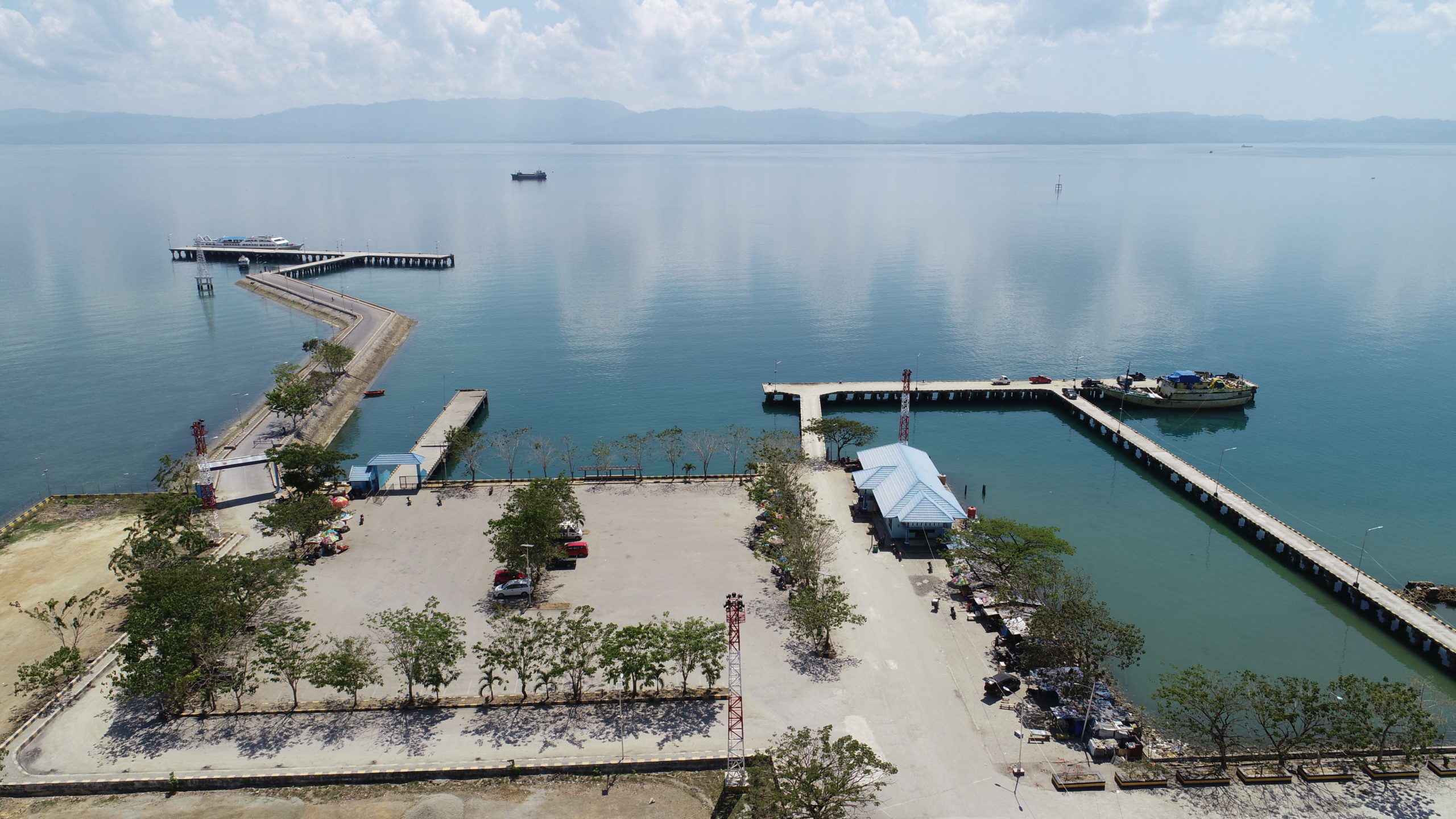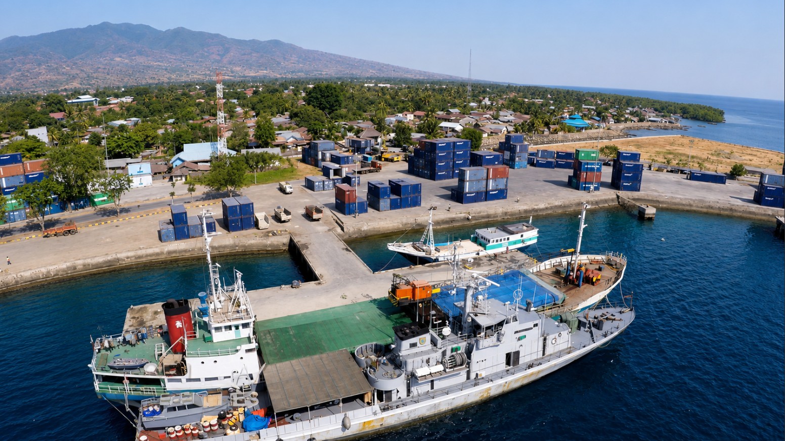
Port Maumere
- Maumere, Flores, East Nusa Tenggara (NTT)



TERSUS BULA is a specialized marine terminal (Terminal Khusus) operated under Pertamina Marine Region VIII, located in Bula, Maluku. The terminal is dedicated to the handling, loading, and discharge of petroleum fuel products to support regional energy distribution, operating under strict maritime safety and operational protocols.


TERSUS BULA (Marine Region VIII)

1 Operational Jetty

Daylight Operation Only

Vessel Capacity: Min 1,500 DWT - Max 3,500 DWT, Min LOA 60 m - Max LOA 90 m

UTC +09:00 (Eastern Indonesia Time / WIT)
TERSUS BULA is a specialized terminal (TERSUS) owned and operated by Pertamina Marine Region VIII, located in Bula, Maluku. The facility primary functions as a vital logistics hub for petroleum fuel distribution, handling commodities such as Premium, Pertalite, Kerosene, and Gasoline (Solar). The terminal operates during daylight hours and provides essential marine safety, mooring assistance, and oil spill response capabilities.
Mooring & Operational Support:
Firefighting & Safety:
Oil Spill Response Equipment (OSRE):
Transportation Facilities:
Petroleum Cargo Loading & Unloading:
Pilotage is non-compulsory (Tidak Wajib Pandu). Vessels may navigate and berth under the guidance of the vessel master in coordination with port authorities.
The terminal currently does not comply with International Ship and Port Facility Security (ISPS) Code standards. Vessels calling at this terminal must maintain heightened security awareness and procedures.
Vessels must account for maximum tidal ranges up to 1.9 meters and currents up to 3.0 knots during both flood and ebb tides. Seabed condition consists primarily of mud and sand.
All vessels approaching or operating within the terminal area are required to maintain continuous radio contact with the port authority on VHF Channels 09 and 16.